I'm a solo dev. My family drives from Florida to Ohio with a 2-, 7- and 10-year-old, and we kept needing park stops. I built WanderWay to find interesting places along the way, and I used Apple's MapKit for the map and routing. A few things I learned:
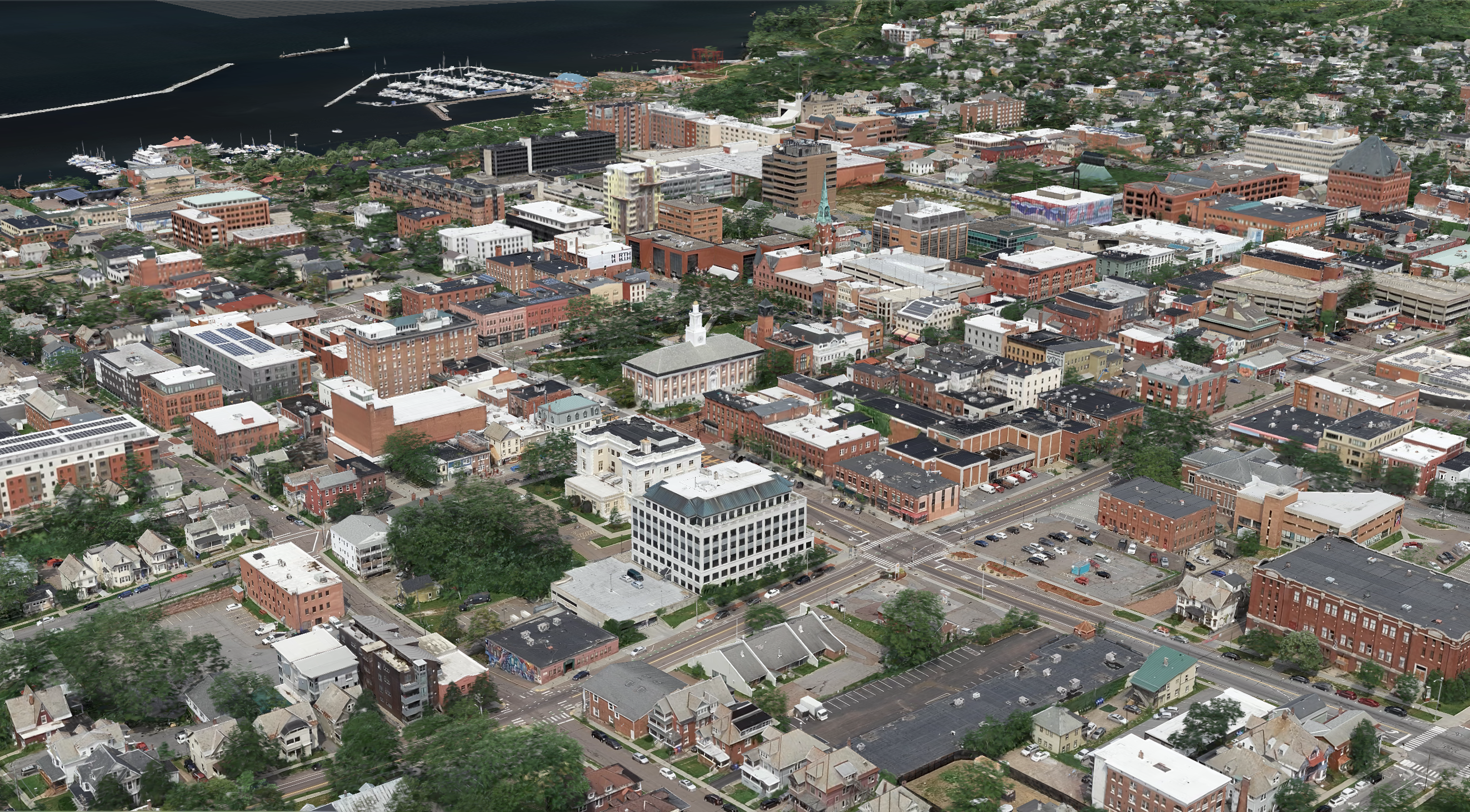
- **MapKit gives you a lot for free.** Turn-by-turn routing, map rendering and rerouting all work well. Missed-turn handling took the most tuning. A new route that sends you back the way you came feels wrong, so I bias reroutes toward the direction you're already heading.
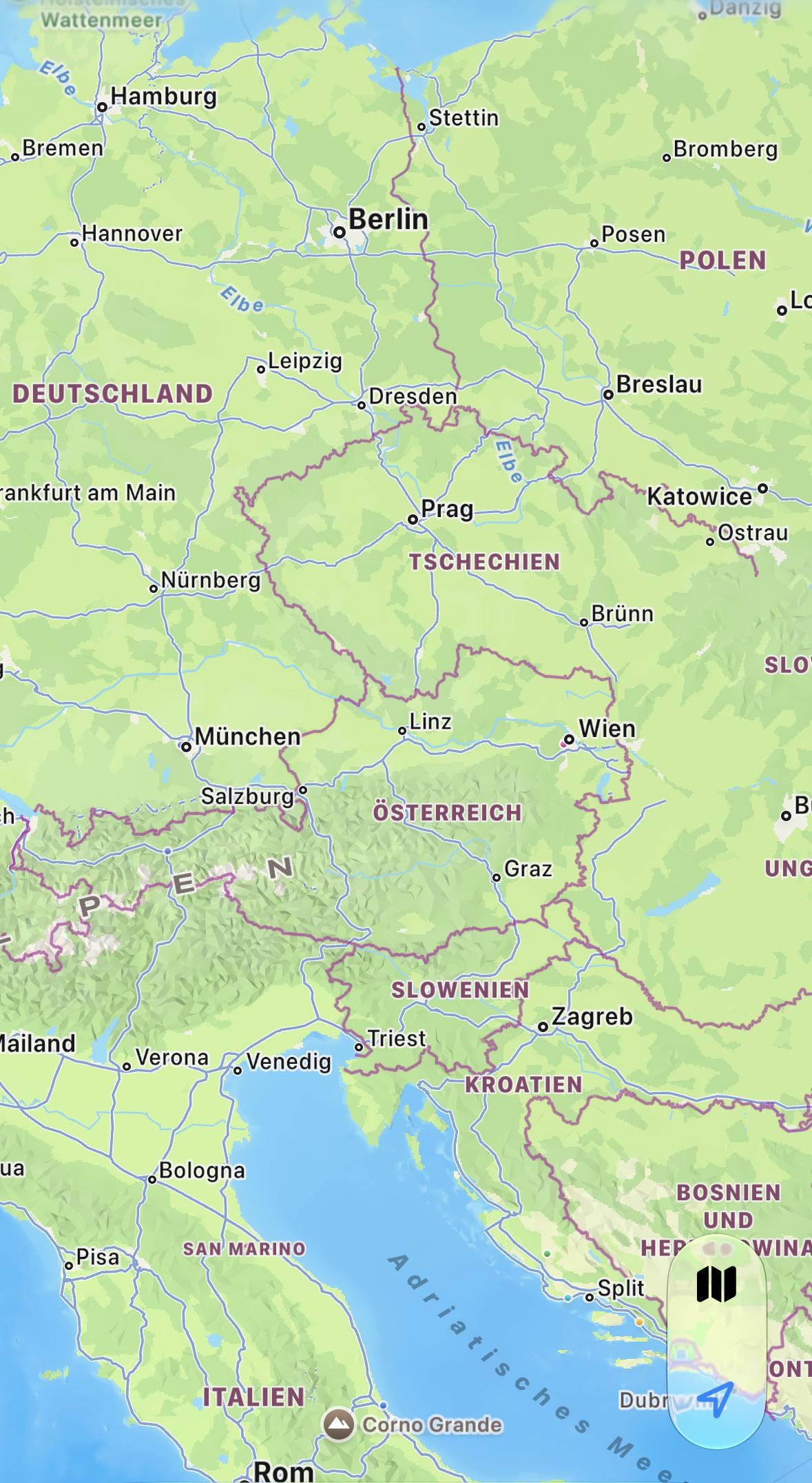
- **MapKit doesn't know about everything you might want to find.** It has no categories for waterfalls, orchards, cemeteries or lighthouses. I get the places from OpenStreetMap instead and draw them on the Apple map.
- **Apple's Maps terms don't let you cache or store Map Data beyond temporary use.** I wanted places to work offline and to save to favorites, so I couldn't build on Apple's place data. Keeping the places separate also lets the app work with no signal.
- **CarPlay is worth the effort.** Most drivers never open their phone, so a CarPlay screen with the next place and arrival time is where the app gets used.
- **Test on the OS you ship for.** A bug I chased for days on my iPad was just an old iOS version.
The app is called WanderWay. It has a 14-day free trial, then $4.99 once, with no subscription, ads or account. Happy to answer questions about MapKit routing, CarPlay or working with OpenStreetMap data.
[WanderWay Navigation on the App Store](https://apps.apple.com/us/app/wanderway-navigation/id6807600062)